Digital map of Baia Mare
Customer: Distigaz Nord Targu Mures (2000- 2001)
Digital map of Baia Mare
Customer: Electrica (2000- 2001)
Digital map of Satu Mare
Customer: National Telecommunications Company Romtelecom (2000)
Scanning and vectoring of forestry maps
Customer: Maramures Forestry (2001)
Digital map of Carei, Negresti and Tasnad
Customer: National Telecommunications Company Romtelecom (2001)
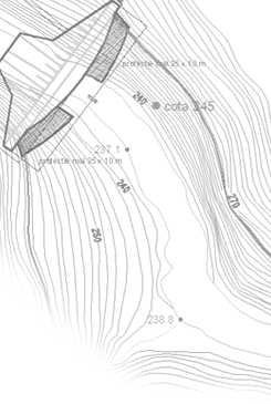
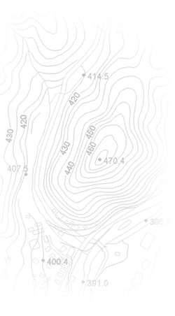
Surveying and preparing the digital topographic plan of Nistru (Maramures county)
Customer: Building Design, Research and Software Institute (ICPT) Bucharest (2002)
Digital maps for the UNO complex from Vienna, for use in the building management system
Partner: MEIXNER CONSULTING ENGINEERS Vienna (2002 – 2003)
Digital map of Negresti Oas, Satu Mare county
Customer: Negresti – Oas City Hall (2003)
Transposing the topographic data of Mures county (scale 1:5000) on magnetic support
Customer: Mures County Council (2003 – 2007)
Partner: PROMAX Targu Mures
Digitization of topographic maps
Customer: DUFIL PROJECT & CONSULTING (2005)
Updating the topographic database of Mures county using orthophotomaps at the scale of 1:5000
Customer: Mures County Council (2005 – 2007)
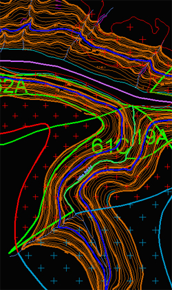
Digitization of maps in the scale of 1:5000 for the North Road project (stages 1 and 2)
Customer: Maramures County Council (2005)
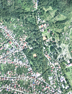
Digital map of Strehaia, Stangaceaua and Butoiesti (Mehedinti county)
Customer: EUDIS S.R.L. Drobeta Turnu Severin (2005)
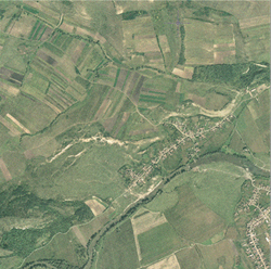
Digital map of Jimbolia
Customer: UPC Romania S.R.L. (2006) |